
Seismic testing, a step related to natural gas well development, has begun in Monroeville.
During a council meeting June 13, municipal Manager Tim Little said he met with Monroeville-based Huntley & Huntley earlier this year. During that meeting, the oil and gas company said it hired two Texas-based companies, Geokinetics and Cougar Land Services, to conduct seismic surveys in Monroeville.
“All they're doing is exploring for gas. This does not mean that they will be, or there will be, drilling coming in, big drills and booms coming onto people's property,” Little said.
The process expected to last through summer is related to a 200 square-mile radius of gas exploration that spans several municipalities in Allegheny and Westmoreland counties, said Huntley & Huntley spokesman Dave Mashek.
Exploration is a step that precedes Marcellus shale well development, Mashek said.
Huntley & Huntley currently operates around 500 wells in Southwestern Pennsylvania, Mashek said. The company also has drilled in other oil- and gas-producing basins, he said.
In recent months, Mashek said, the company has submitted permit applications to the state Department of Environmental Protection to build three Marcellus well pads in three municipalities: Penn Township, Plum and Upper Burrell.
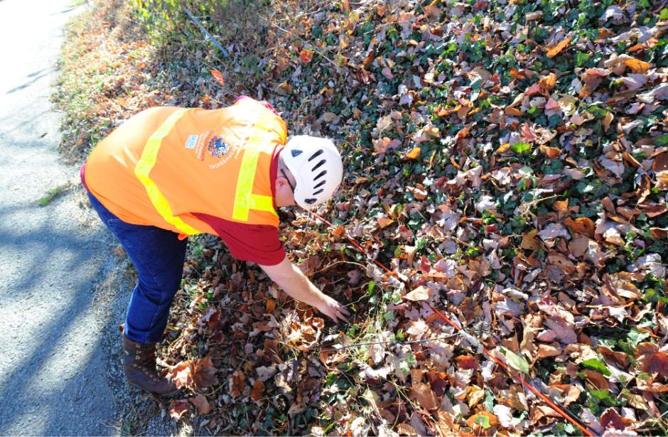
A Huntley & Huntley brochure on exploration says land owners will experience “little impact” during a seismic survey.
Little said land owners can refuse to allow surveyors to drill holes, unless the owner previously signed a lease with a gas company to permit oil and gas activity.
The company is working with the state and municipalities to acquire road-use and bond agreements for the survey, Mashek said. He declined to specify which Monroeville roads will be involved in seismic surveying.
Once the process is complete, usually over two to three months, crews gather geophones and fill any holes.
Dillon Carr is Tribune-Review staff writer. Reach him at 412-871-2325, dcarr@tribweb.com or via Twitter @dillonswriting.