
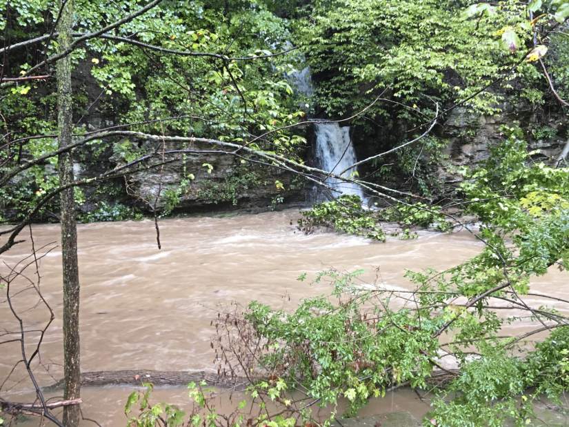
Continuing rain from remnants of Tropical Storm Gordon forced PennDOT and other authorities to close numerous roadways around Western Pennsylvania on Monday.
The Tribune-Review will update the following list, broken down by county, as more information is released.
Allegheny County
- Pittsburgh: 10 th Street Bypass in Downtown Pittsburgh, between I-279 Parkway North/Fort Duquesne Bridge and Fort Duquesne Boulevard, as well as northbound and southbound ramps from I-279. Motorists should use Fort Duquesne Boulevard to detour around the closure. Motorists on I-279 should use the ramps to Fort Duquesne Boulevard.
- Pittsburgh: Becks Run Road between Brownsville Road and Agnew;
- Baldwin: 3900 block of Churchview (landslide);
- Bethel Park: 5700 block of Valleyview Drive; Horning at Englert Farms Road (washed out);
- East Pittsburgh: Route 30 (Lincoln Highway), single lane between the Electric Avenue ramp and Center Street (landslide);
- Franklin Park: 2400 block of Camp Meeting Road;
- Jefferson Hills: Route 51 southbound between Coal Valley Road in Pleasant Hills Borough and Wray Large Road;
- Jefferson Hills: Coal Valley Road, between Route 837 and Route 885;
- McCandless: Blazier Drive;
- McKeesport: West Fifth Avenue;
- Mon Wharf remains closed through at least Monday;
- North Braddock: Route 30 (one lane blocked by a large rock)
- South Park: Stewart Road / Berryman Avenue (Route 3011) between Brownsville Road and Stoltz Road;
- South Park: Stewart Road/Berryman Avenue between Brownsville Road and Brandis Avenue;
- South Fayette: Boyce Road (Route 3006) between Hunting Ridge Road and Washington Road (Route 19);
- South Fayette: Mayview Road/Bank Street/Station Street (Route 3005) between Willowbrook Drive and Boyce Road;
- West Deer: Kaufman Road at Saxonburg Boulevard; Millerstown-Culmerville Road at Tarentum-Culmerville Road;
- Homestead: River Road from East Mifflin Street to the Rankin Bridge because of a landslide. The Rankin Bridge is open.
- Monroeville: Pitcairn Road is closed between Stroescheine Road and Wallace Street due to a landslide involving trees tangled in utility lines.
Westmoreland County
- Murrysville: Old William Penn Highway, between Cozy Inn Cut Off and Hills Church Road;
- Murrysville: Steele Road between Mamont Road and Hilty Road;
- Murrysville: Borland Farm Road, Gun Club Road, Sardis Road at Crowfoot Road;
- North Huntingdon: Route 993, landslide near Mt. View Place;
- Sewickley Twp.: Creek Road;
- Sewickley Twp.: Lowber Road
- Youngwood: North 3rd Street from Depot Street to Willow Crossing
- Hempfield: Route 119 near Willow Crossing Road
- Hempfield: Route 136 near Rocky Mountain Road
- Hempfield: Route 819 north of Greensburg
- Hempfield: Barnhart Road
- Hempfield: Fair Grounds Road
- Hempfield: East Hillis Road
- Hempfield: Cribbs Station Road
- Hempfield: Hunter Road
- Hempfield: Fry Hollow Road
- Hempfield: Penn Valley Road
- Hempfield: Glen Fox Road
- Hempfield: Union Cemetery/Route 119
- Hempfield: Reywayant Road
- Hempfield: Wertz Road
- Hempfield: Lower Fosterville Road
- Hempfield: Tiple Row Road
- Route 4071 Pine Run Road;
- Route 2045 Two Mile;
- Route 4061 Washington Road;
- Route 1016 Bairdstown;
- Route 1055 Hannastown Road;
- Route 982
- Route 3053 Parkhill Road;
- Route 3037 Waltz Mill;
- Route 381 (two locations);
- Route 1065 St James Church Road;
- Route 4089 Hilton Road;
- Route 3089 Ruffsdale Road;
- Route 1007 Ross Park Mountain Road;
- Route 3010, Waltz Mill to Interstate 70 ramp;
- Route 819, Stone Church to Wicky Lane;
- Route 136 Arona Road to Harry Long Lane
- Route 3029 Banning Road
- Route 2012 Armburst Road
- Route 3015 Turkey Hollow Road
- Route 3012 Yukon Road from Adolph Lane to Highway Street
- Route 1022 Crabtree Road
- Route 3007 Fayette Street
- Route 4034 Orr Avenue
- Greensburg: Route 819 between Franklin Avenue and McLaughlin Drive
- Greensburg: Route 119 near Lynch Field
- Greensburg: parking lot at Aerobic Center and Kirk S. Nevin ice arena
- South Greensburg: Route 119 to Adam Street
- Hempfield Township: State Route 119 at Willow Crossing
- Derry Township: Route 217 southbound to state Route 1025
Armstrong County
- North Buffalo: Route 3007, Glade Run Road from Route 128 in Cadogan Township and Pony Farm Road;
- West Franklin: Route 4035, Craigsvile Road, between Airport Road and Old Butler Road;
- West Franklin: Route 3013 Mushroom Farm Road, between Route 422 and Fenelton Road;
- South Bend: Route 56, between Gobblers Run Road and Shady Plain Road, Kiskiminetas Township;
Butler County
- Fairview Twp.: Route 268, between Route 68 and Route 38 in Emlenton, Venango County;
- Forward Twp.: Route 3028, Hartmann Road, between Route 528 and Seneca School Road, Jackson Township;
- Oakland Twp.: Route 38, at the Hohn Farm Road intersection;
Fayette County
- Route 2015, Nelson Road;
- Route 381, Wharton Furnace Road;
- Route 1049, Eighty Acres Road;
- Route 1053, Arch Bridge Road;
- Route 3002, Wharton Elliottsville Road;
- Route 3027, Hopwood Fairchance Road;
- Route 3025, Redstone Furnace Road;
- V
Greene County
- Route 1006, Browns Ferry Road/Ceylon Road/South Street;
- Route 4005, Sawmill Road/Poland Run Road (downed tree);
- Route 21, at the intersection of Route 18 & Tower Road;
- Center Twp.: Route 21, in the area of intersection of West Run Road
- Franklin Twp.: Route 18 in the area of the intersection of Water Dam Road
Washington County
- Route 40, Chestnut Street;
- Route 1006 - One Lane slide;
- Route 1010;
- Route 4027;
- Route 481 - Peno’s Plaza;
- Route 2023;
- Route 2019;
Source: PennDOT, county authorities, Tribune-Review reporting