Latrobe begins inventory, map of public-space trees
Latrobe's Lincoln Avenue Trail has attracted many walkers since its completion earlier this year on an old rail bed.
But community planners have since spotted a potential problem along the recreational route.
“We didn't realize there are eight ash trees there in a row,” threatened by the emerald ash borer, said Jarod Trunzo, executive director of the Latrobe Community Revitalization Program. “It was an afterthought: ‘Oh, those are ash trees, and they're all going to be dead, or half of them are.'”
Latrobe officials and volunteer partners soon will have a better handle on the shade trees that populate the many public areas of the city's 2.2 square miles as they try out a new online inventory and management tool offered by the state Department of Conservation and Natural Resources.
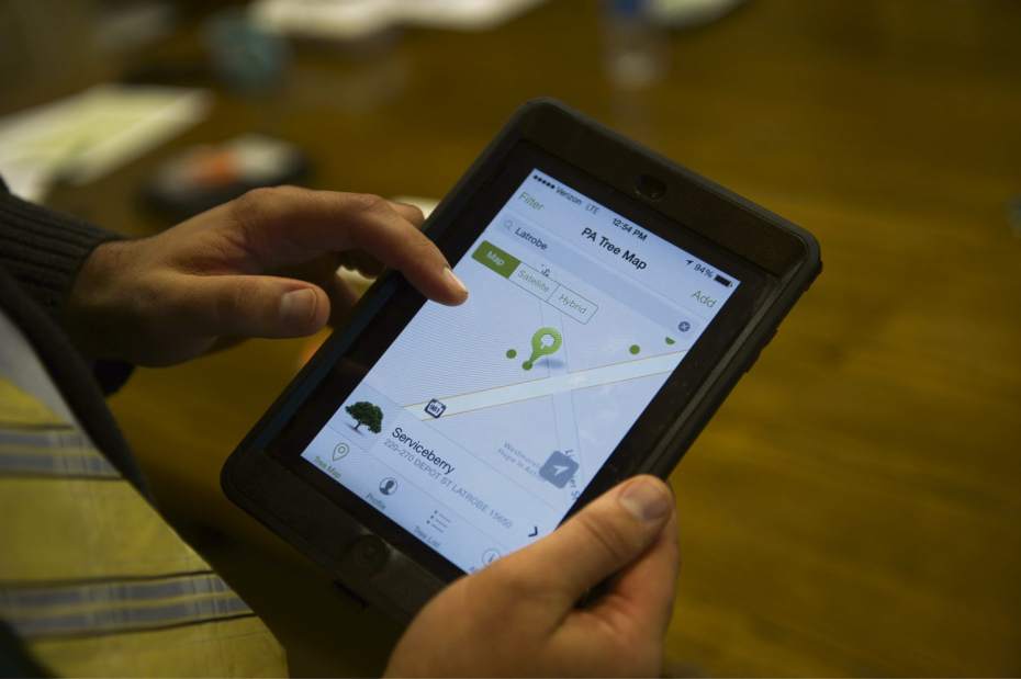
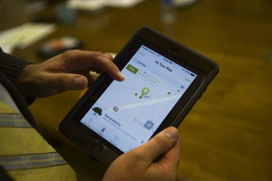
Led by the nonprofit revitalization program and a team of trained volunteers, Latrobe is one of the first municipalities in the state's southwestern region to make use of the cloud-based Pennsylvania Community Tree Map. The goal is to have authorized teams in communities throughout the state fill in the map with icons representing the GPS coordinates of public trees — linked to a database detailing the species, size, health and maintenance history of each.
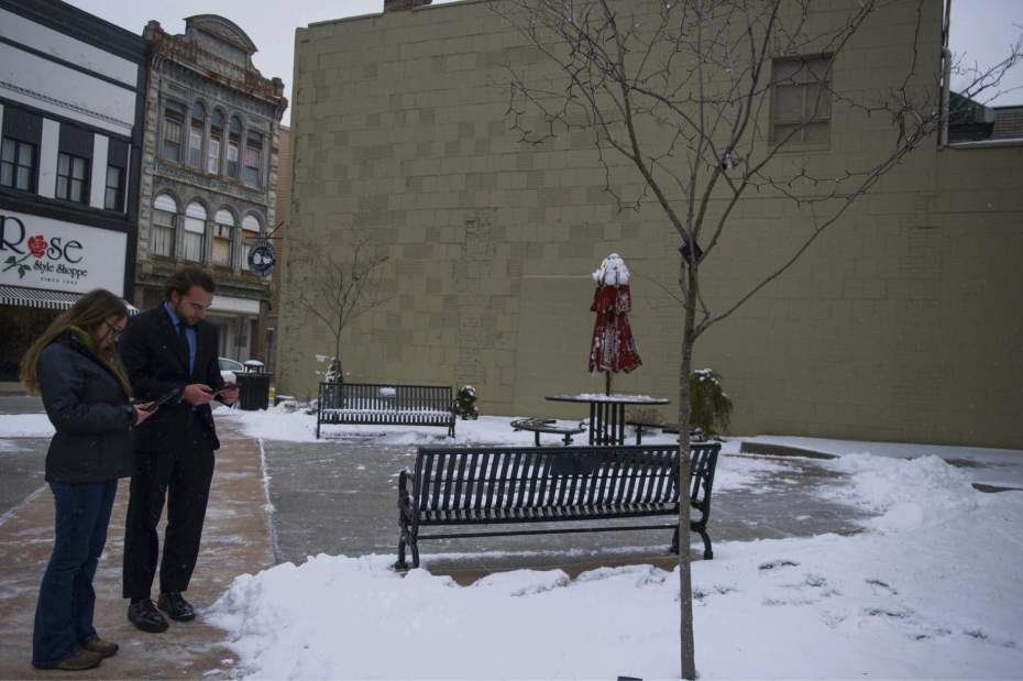
Trained recently by a state forester, Trunzo and a group of volunteers will canvass Latrobe to enter tree data using seven iPads on loan from the state's Urban and Community Forestry Council. In Allegheny County, Wilkinsburg and Edgewood may join the mapping effort next year, while Swissvale could upload its existing tree database to make use of the tool.
“We are not going to do every single tree but everything along the roadway, our green spaces and our parks,” Trunzo said.
“Latrobe will be the first to do a full inventory using the application,” said Celine Colbert, a regional state forester based in Laughlintown.
She said volunteers “can go out whenever they want over the winter” to locate trees and measure their diameters. They can snap and upload photos that later can be matched with the correct species and other details.
The online system can help municipalities make more informed decisions about planting, pruning and removing trees and can help track tree diseases and pests, said Mark Hockley, tree canopy coordinator for the state Bureau of Forestry.
Trunzo said the online tool should help advance recent efforts to address problem trees in Latrobe, led by the nonprofit, the city's public works department, a local arborist and other volunteers.
He said that team will “continue to take out trees that were planted incorrectly.”
Among recent removals was a silver maple that buckled the sidewalk near the Rite-Aid pharmacy at Depot and Ligonier streets.
On Lloyd Avenue, just across Loyalhanna Creek from downtown Latrobe, overgrown pear trees that were being scraped by passing trucks have been replaced by European hornbeams that don't spread much as they grow.
Trunzo said the mapping project also will allow Latrobe to “assess the economic benefits, the environmental benefits of our trees. It can be used as leverage for future grants.”
Trunzo said street trees increase real estate values and reduce summer cooling costs for adjacent properties, boost foot traffic at nearby businesses, slow traffic and help manage storm water. He added that the calming, green canopy provided by urban trees also can combat depression.
The online tree map was developed by Philadelphia-based firm Azavea, adapting a concept employed in its home city and in San Francisco. Supported by a federal Forest Service grant, Pennsylvania has a three-year contract covering use of the map by all state municipalities, but Hockley expressed hope the map will be a longer-term project.
Jeff Himler is a Tribune-Review staff writer. Reach him at 724-836-6622 or jhimler@tribweb.com.


