
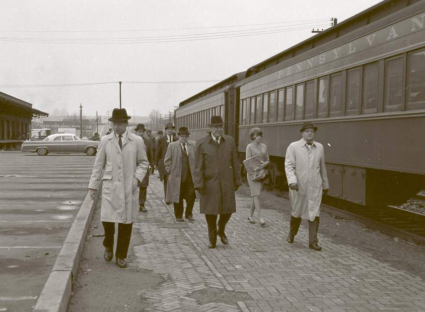

Grabbing a train to Pittsburgh from dozens of surrounding communities would be a piece of cake. If it was still 1942.
A new interactive graphic plots the old commuter rail schedules onto a current Google map to show how extensive the region's train lines used to be.
South Side resident Aaron Reinard created the map that shows Pittsburgh and Lake Erie Railroad, Pennsylvania Railroad and Baltimore & Ohio color coded with all 245 stations.
Passengers could ride the rails along the Allegheny River out to Freeport and then continue along the to Kiskiminetas River to Torrance. Another line carried commuters out to Greensburg and beyond to Derry.
Multiple northbound lines extended to New Castle and the southern routes hit Connelsville, Brownsville and Washington, Pa.
Try clicking the "Pre-1942" box on the map to show some of the earlier rail lines.